Search Results
Type: Data
Delaware 2025 Climate Change Projections Report
In October 2025, the University of Delaware Center for Environmental Monitoring and Analysis (CEMA) published the Delaware 2025 Climate Change Projections Report. This report presents a comprehensive assessment of sea level rise, temperature, and preci …
Delaware Greenhouse Gas Inventory
In December 2025, the DNREC Division of Air Quality published Delaware’s Greenhouse Gas Inventory for 2022. The Division of Air Quality prepares the inventory to characterize Delaware’s historical and projected GHG emissions, and thereby inform the pol …
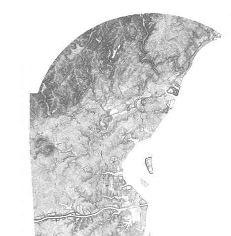
Elevation Contours Dataset for Delaware
Elevation contours at 1-foot contours were derived from a 2014 LIDAR DEM flown for the state of Delaware using a modified version of the USGS Contour Derivation algorithm. Elevation contour data are available for download.
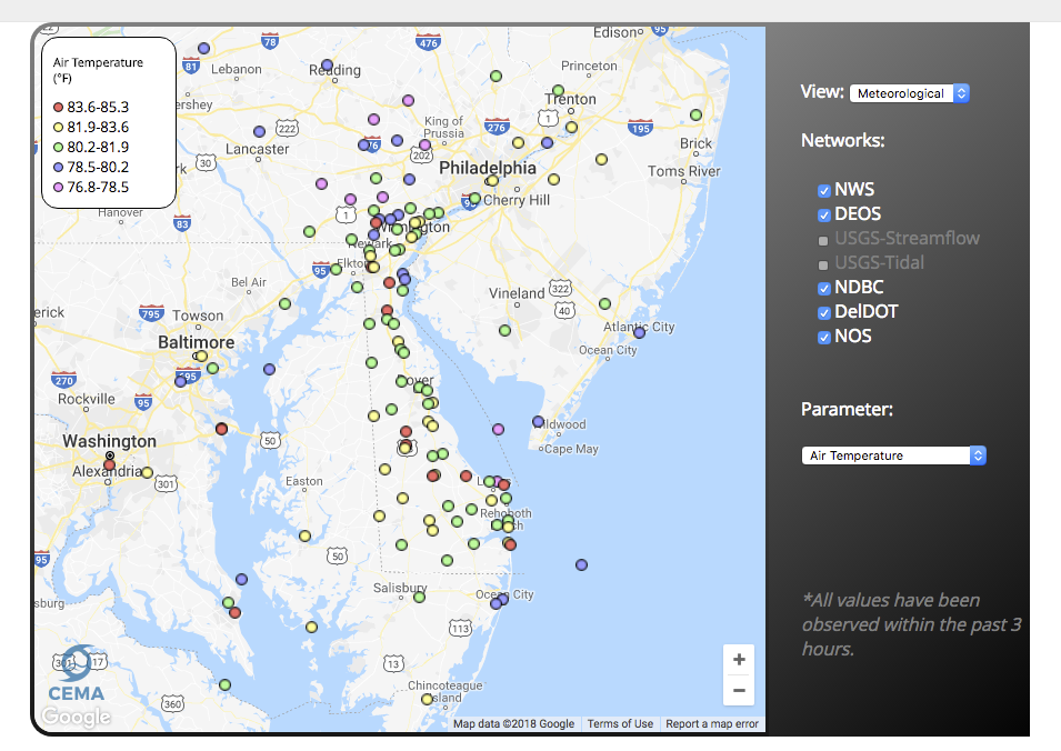
Delaware Environmental Observing System Meteorological Monitoring Data
The Delaware Environmental Monitoring System (DEOS) provides real-time environmental conditions for Delaware and the surrounding region. Today, DEOS operates and maintains over 50 environmental monitoring platforms and brings in data from over 200 addi …

National Wetlands Inventory (NWI) Wetlands Data
This website provides nationwide wetlands data in Geodatabase and shapefile form. Data is available for all 50 states and updated on a regular basis.
Delaware Geological Survey Digital Datasets
A depository of digital data released by the Delaware Geological Survey (DGS). It represents the results of original professional research used by professionals and the public.
Delaware First Map: Geospatial Data
FirstMap is a comprehensive self-service Enterprise Geographic Information System that consists of an enterprise geodatabase for data storage, an infrastructure to support geospatial and image services, and is tied into the State’s ArcGIS Online portal …
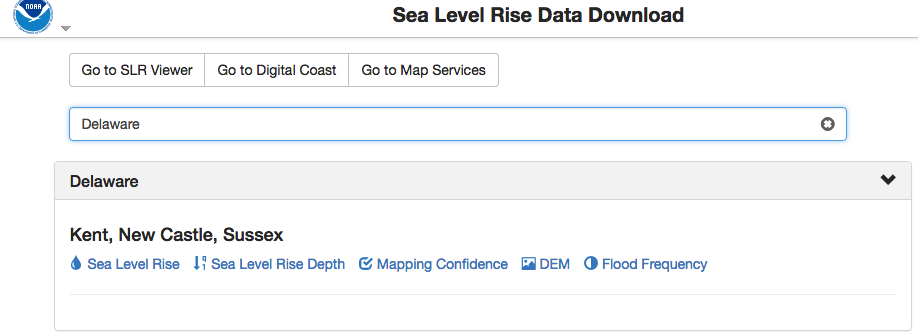
NOAA Sea Level Rise Data Download
Depository of data used in NOAA’s Sea Level Rise Data Viewer. Sea level rise, sea level rise depth, mapping confidence, flood frequency and a digital elevation model (DEM) is available to download by state.
Delaware 2ft Elevation Contours Map Service
This 2-foot contour dataset was created in a joint effort between the Delaware Geological Survey (DGS) and the U.S. Geological survey (USGS). These data are intended to provide both contour-data for use by the state of Delaware, and digital elevation d …
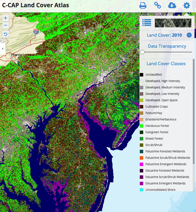
C-CAP Land Cover Atlas
This Data Portal serves as a platform to engage all stakeholders in the five coastal Mid-Atlantic states, putting all of the essential data and state-of-the-art mapping and visualization technology into the hands of the agencies, industry, community le …