Search Results
Found 14 Results For Search:
Type: Tools & Applications
Type: Tools & Applications
(Displaying 4 per page)
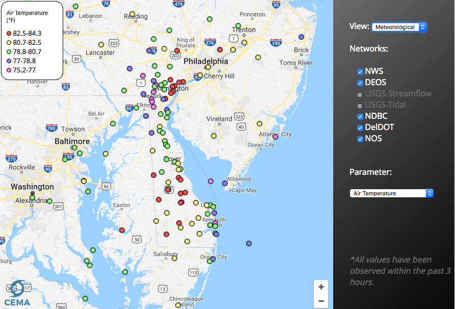
Delaware Environmental Observing System GeoBrowser
Tools & Applications
The Delaware Environmental Observing System (DEOS) GeoBrowser provides access to DEOS data through a geographic framework. In the GeoBrowser, you can select stations from across the state to see current conditions and access daily and monthly summaries …
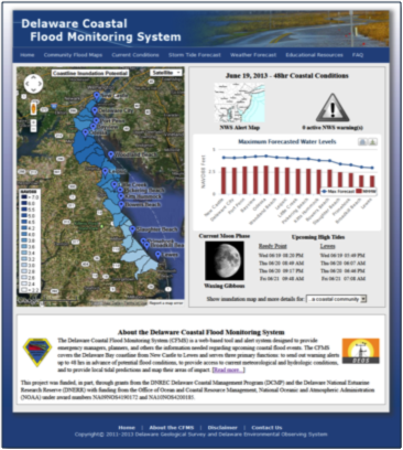
Coastal Flood Monitoring System
Tools & Applications
The Delaware Coastal Flood Monitoring System (CFMS) is a web-based tool and alert system designed to provide emergency managers, planners, and others the information needed regarding upcoming coastal flood events. The CFMS covers the Delaware Bay coast …
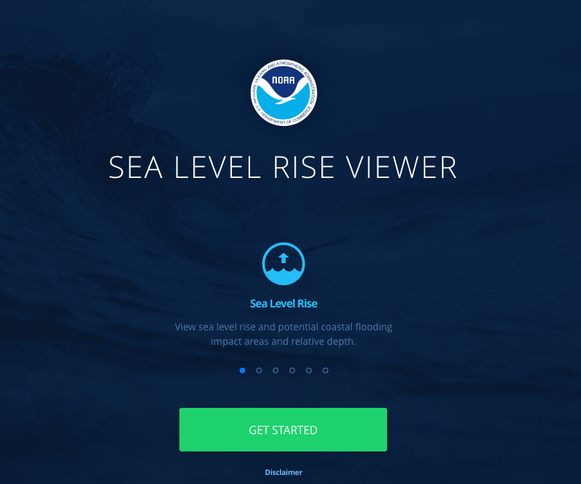
NOAA Sea Level Rise Viewer
Tools & Applications
The purpose of this data viewer is to provide coastal managers and scientists with a preliminary look at sea level rise and coastal flooding impacts.