Search Results
Keyword(s): Emergency Management
Delaware Resilient and Sustainable Communities League Coffee Hours
Join the Delaware Resilient and Sustainable Communities League (RASCL) for an informal and interactive discussion with RASCL members. RASCL Coffee Hours engage Delaware’s communities to provide information sharing and networking on improving community …
Delaware Geological Survey Publication List
This page lists all publications released by DGS. Report topics include but are not limited to saltwater intrusion, aquifer and groundwater withdrawals, and geologic maps of various geographic regions throughout Delaware.
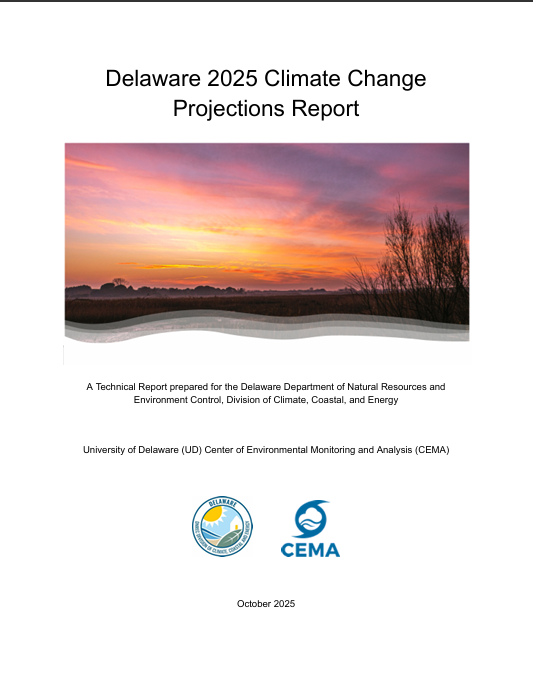
Delaware 2025 Climate Change Projections Report
In October 2025, the University of Delaware Center for Environmental Monitoring and Analysis (CEMA) published the Delaware 2025 Climate Change Projections Report. This report presents a comprehensive assessment of sea level rise, temperature, and preci …
National Wetlands Inventory (NWI) Wetlands Data
This website provides nationwide wetlands data in Geodatabase and shapefile form. Data is available for all 50 states and updated on a regular basis.
Delaware First Map: Geospatial Data
FirstMap is a comprehensive self-service Enterprise Geographic Information System that consists of an enterprise geodatabase for data storage, an infrastructure to support geospatial and image services, and is tied into the State’s ArcGIS Online portal …
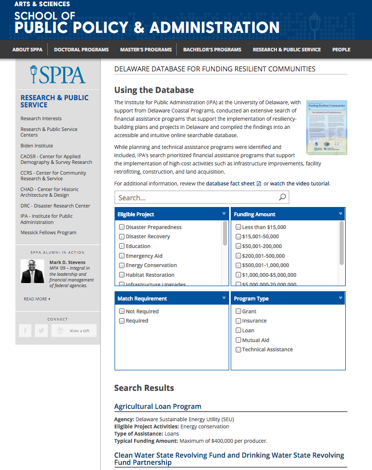
Delaware Database for Funding Resilient Communities
An online searchable database that provides information regarding financial assistance programs that support the implementation of resiliency-building plans and projects in Delaware.
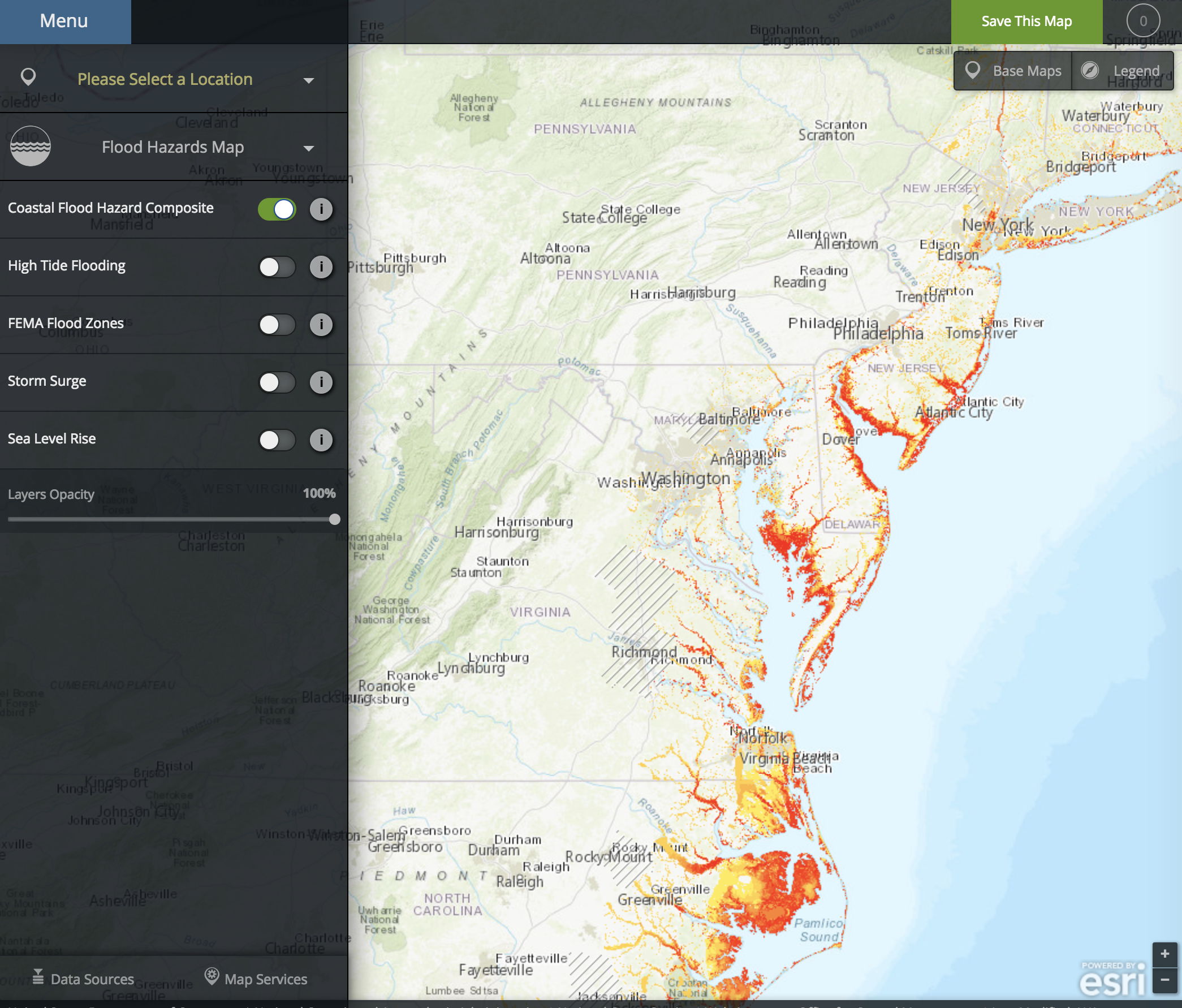
NOAA Coastal Flood Exposure Mapper
The Coastal Flood Exposure Mapper creates a collection of user-defined maps that show the people, places, and natural resources exposed to coastal flooding.
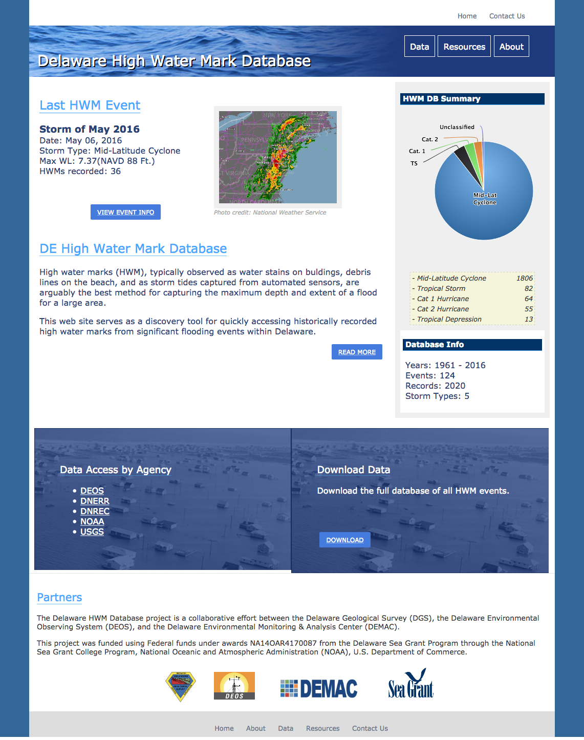
Delaware High Water Mark Database
A database and visualization tool for high water marks observed throughout Delaware as a result of flooding events.
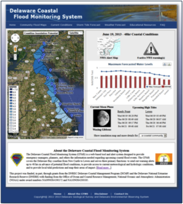
Coastal Flood Monitoring System
The Delaware Coastal Flood Monitoring System (CFMS) is a web-based tool and alert system designed to provide emergency managers, planners, and others the information needed regarding upcoming coastal flood events. The CFMS covers the Delaware Bay coast …
NOAA Sea Level Rise Viewer
The purpose of this data viewer is to provide coastal managers and scientists with a preliminary look at sea level rise and coastal flooding impacts.