Search Results
Type:
Featured Resources
 Recommendation of Sea-Level Rise Planning Scenarios for Delaware: Technical Report
Delaware Climate Action Plan Supporting Technical Greenhouse Gas Mitigation Analysis Report
DNREC engaged ICF Incorporated, LLC (ICF) to support the planning process through technical analyses to characterize and model GHG emission sources and potential reductions. This report focuses on the key technical components of the climate action plan …
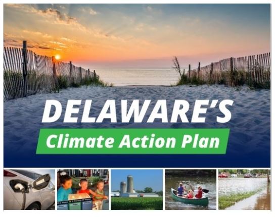
Delaware’s Climate Action Plan
For more than a decade, Delaware has taken steps to address the causes and consequences of climate change. But we need to do more. Delaware’s Climate Action Plan, which is the result of a year-long process involving residents, businesses and technical …
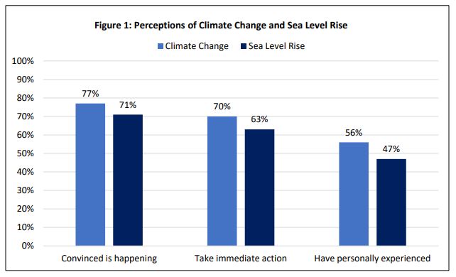
Delaware Residents’ Opinions on Climate Change and Sea Level Rise
Attitudes, perceptions, and knowledge about climate change and sea level rise are rapidly evolving. It is important for decision-makers, educators, and others to have locally based and up-to-date information on public attitudes and perceptions about cl …
Elevation Contours Dataset for Delaware
Elevation contours at 1-foot contours were derived from a 2014 LIDAR DEM flown for the state of Delaware using a modified version of the USGS Contour Derivation algorithm. Elevation contour data are available for download.
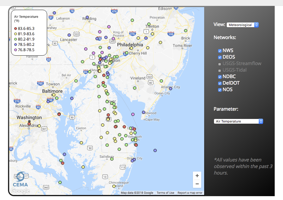
Delaware Environmental Observing System Meteorological Monitoring Data
The Delaware Environmental Monitoring System (DEOS) provides real-time environmental conditions for Delaware and the surrounding region. Today, DEOS operates and maintains over 50 environmental monitoring platforms and brings in data from over 200 addi …
National Wetlands Inventory (NWI) Wetlands Data
This website provides nationwide wetlands data in Geodatabase and shapefile form. Data is available for all 50 states and updated on a regular basis.
Delaware Geological Survey Digital Datasets
A depository of digital data released by the Delaware Geological Survey (DGS). It represents the results of original professional research used by professionals and the public.
Delaware First Map: Geospatial Data
FirstMap is a comprehensive self-service Enterprise Geographic Information System that consists of an enterprise geodatabase for data storage, an infrastructure to support geospatial and image services, and is tied into the State’s ArcGIS Online portal …
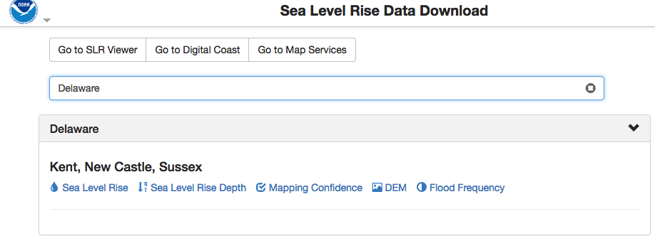
NOAA Sea Level Rise Data Download
Depository of data used in NOAA’s Sea Level Rise Data Viewer. Sea level rise, sea level rise depth, mapping confidence, flood frequency and a digital elevation model (DEM) is available to download by state.
Delaware 2ft Elevation Contours Map Service
This 2-foot contour dataset was created in a joint effort between the Delaware Geological Survey (DGS) and the U.S. Geological survey (USGS). These data are intended to provide both contour-data for use by the state of Delaware, and digital elevation d …