Search Results
Type:
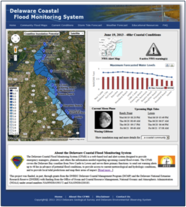
Coastal Flood Monitoring System
The Delaware Coastal Flood Monitoring System (CFMS) is a web-based tool and alert system designed to provide emergency managers, planners, and others the information needed regarding upcoming coastal flood events. The CFMS covers the Delaware Bay coast …
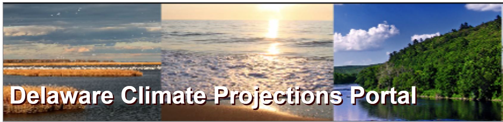
Delaware Climate Change Projections Portal
Data visualization, data downloads, and general information of downscaled climate projections for Delaware.
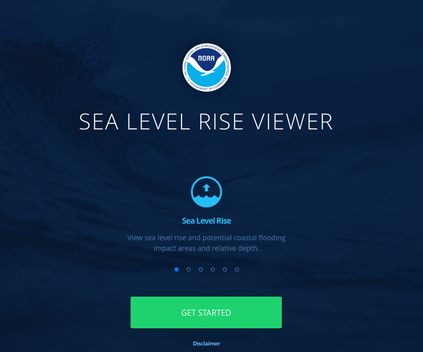
NOAA Sea Level Rise Viewer
The purpose of this data viewer is to provide coastal managers and scientists with a preliminary look at sea level rise and coastal flooding impacts.

Delaware 2007 Land Use, Land Cover (Revised)
Revised in 2012, this land use/land cover (LULC) dataset corrects many of the errors found in the 2007 dataset. The imagery was collected with 4 bands: B, G, R, and NIR. The original, uncorrected 2007 LULC dataset is also available here.
Delaware Coastal Inundation Maps
A new topographic DEM was used to develop bathtub-model coastal inundation maps for the state of Delaware. Both maps and GIS data layers are available from this project.
DGS Groundwater Data: Recent and Historical Groundwater Level Data
Water levels were measured in monitoring or observation wells by staff members of the DGS, other state agencies, and the USGS. For a few wells, water levels were measured by employees of the consulting firms.
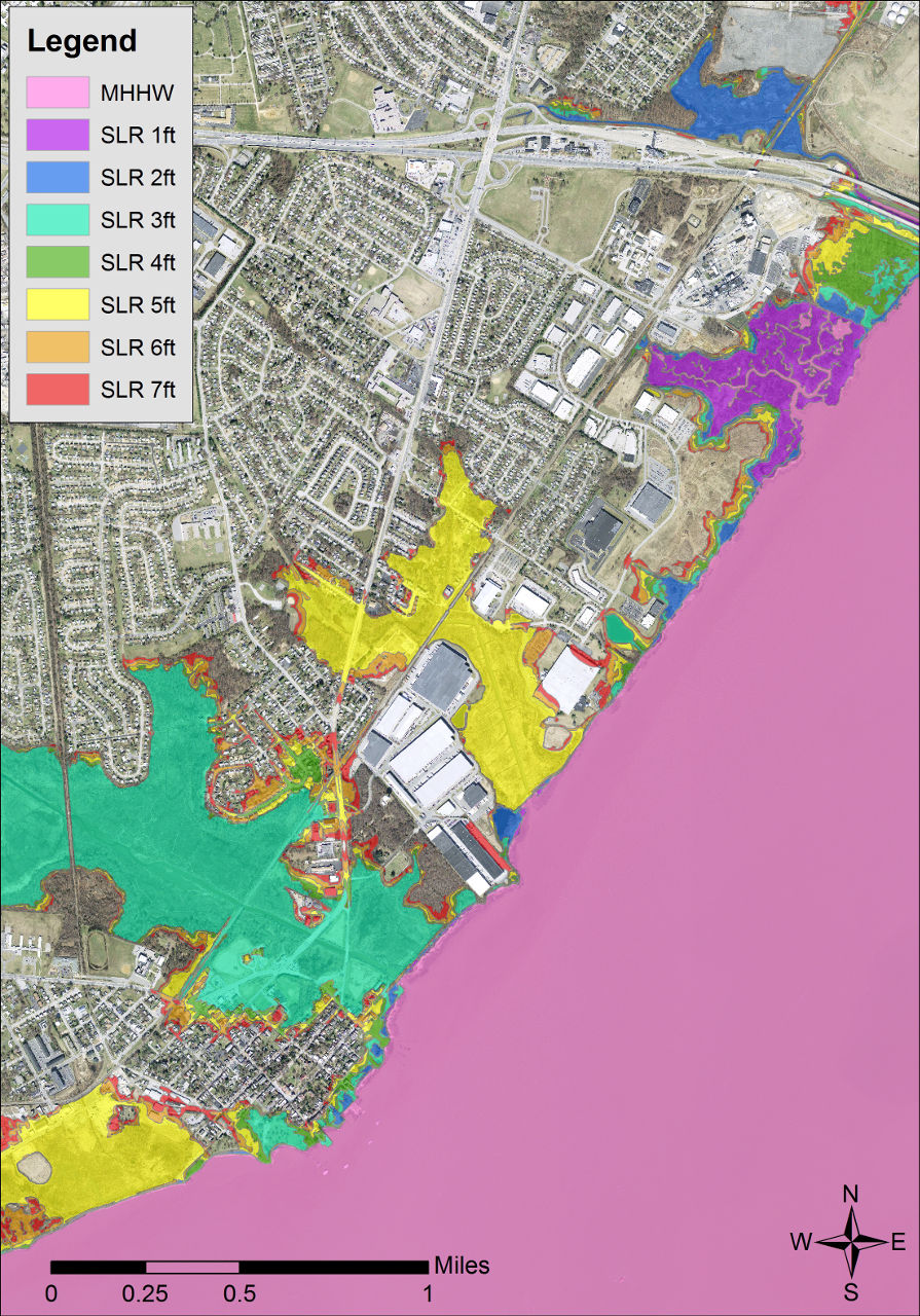
Delaware Sea Level Rise Vulnerability Assessment Mapping Appendix
This Map Appendix was developed and produced by the DNREC Delaware Coastal Programs for use by the Delaware Sea Level Rise Advisory Committee. It contains background information about sea level rise, the sea level rise vulnerability assessment, and map …