Search Results
Recommendation of Sea-Level Rise Planning Scenarios for Delaware: Technical Report
This technical report was developed from these efforts summarizing the impacts of SLR in Delaware, recent research on historic SLR reconstructions, data from tide gauges located within the Delaware region, several recent international and national assessments on projecting future SLR conditions, and recommendations of new SLR scenarios to use in Delaware long-range planning activities.
Climate-Conscious Comprehensive Planning in Delaware
This report is written for planners, local government officials, concerned citizens, and decision-makers who are motivated to move their communities forward in a more sustainable and resilient direction through a truly comprehensive development plannin …
Delaware 2007 Land Use, Land Cover (Revised)
Revised in 2012, this land use/land cover (LULC) dataset corrects many of the errors found in the 2007 dataset. The imagery was collected with 4 bands: B, G, R, and NIR. The original, uncorrected 2007 LULC dataset is also available here.
Coastal Delaware Resiliency
A warming climate, changes in weather patterns, and rising sea levels will change how and where business is done in coastal Delaware. These factors may also provide new business opportunities. This report summarizes the current state of climate science …
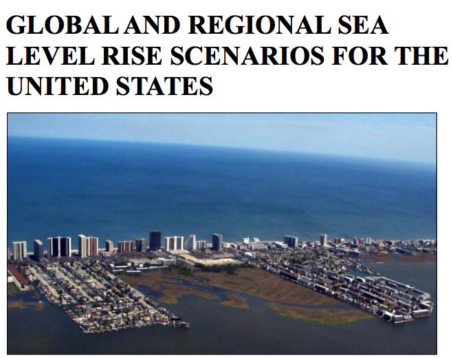
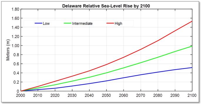
Global and Regional Sea Level Rise Scenarios for the United States
The Sea Level Rise and Coastal Flood Hazard Scenarios and Tools Interagency Task Force, jointly convened by the U.S. Global Change Research Program (USGCRP) and the National Ocean Council (NOC), began its work in August 2015. The Task Force has focused …
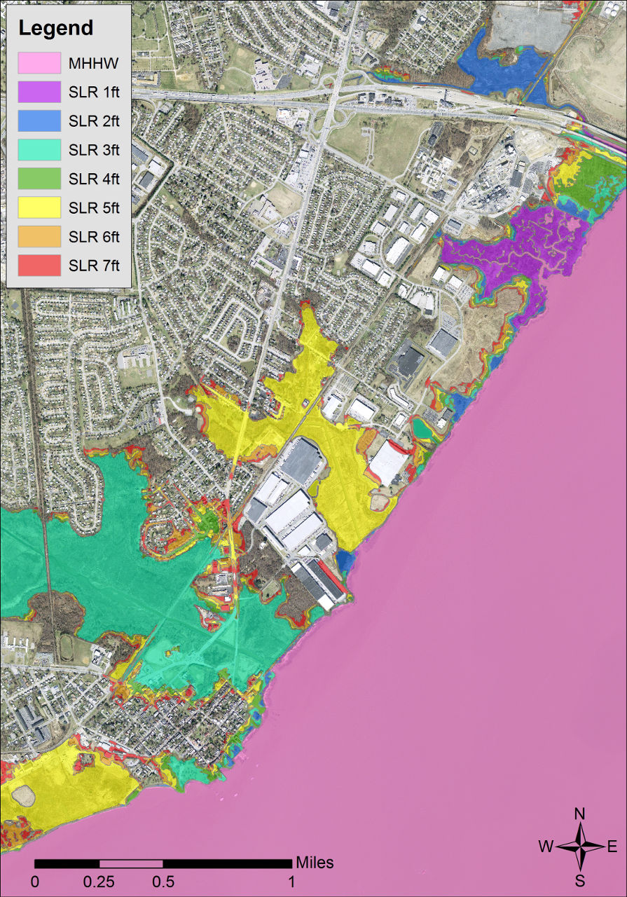
Delaware Coastal Inundation Maps
A new topographic DEM was used to develop bathtub-model coastal inundation maps for the state of Delaware. Both maps and GIS data layers are available from this project.
Climate Action in Delaware: 2016 Progress Report
In September 2013, the Governor signed Executive Order 41: Preparing Delaware for Emerging Climate Impacts and Seizing Economic Opportunities from Reducing Emissions. The Executive Order directed Delaware state government agencies to address both the c …
Avoiding and Minimizing Risk of Flood Damage to State Assets: A Guide for Delaware State Agencies
An easy-to-use guide that will help state agencies evaluate and avoid both existing flood risk and future risks posed by climate change during the planning and design of public building and infrastructure projects. Changes in sea levels, temperatures, …
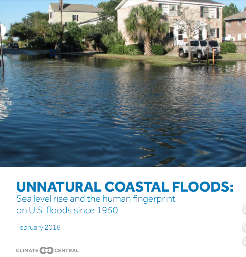
UNNATURAL COASTAL FLOODS: Sea level rise and the human fingerprint on U.S. floods since 1950
Human-caused climate change is contributing to global sea level rise and consequently aggravating coastal floods. This analysis removes the assessed human-caused component in global sea level from hourly water level records since 1950 at 27 U.S. tide g …
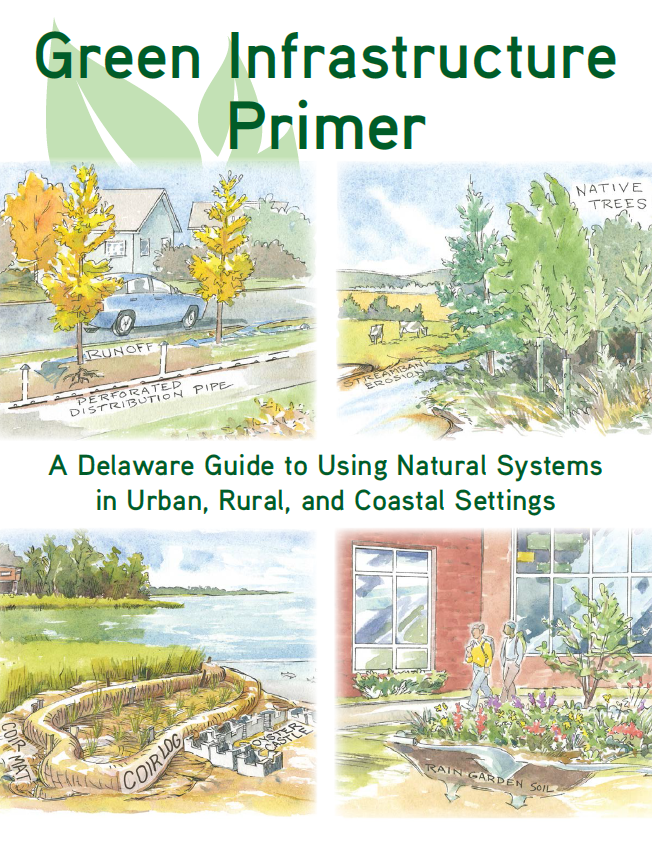
Green Infrastructure Primer
The Green Infrastructure Primer provides an introduction to green infrastructure projects and their benefits, as well as information on selecting, building, and maintaining them. It provides an overview of the benefits of green infrastructure and an in …