Search Results
Keyword(s): Monitoring
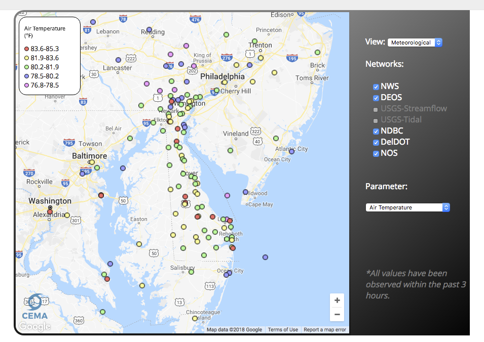
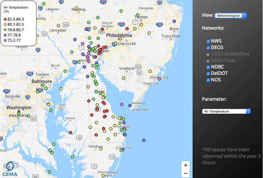
Delaware Environmental Observing System Meteorological Monitoring Data
The Delaware Environmental Monitoring System (DEOS) provides real-time environmental conditions for Delaware and the surrounding region. Today, DEOS operates and maintains over 50 environmental monitoring platforms and brings in data from over 200 addi …
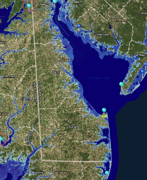
NOAA Tides and Currents Innundation Dashboard
View real-time and historical water level and inundation information in an interactive web mapping application. Tide stations are available for three regions—New York City and Long Island Sound, Lower Chesapeake Bay, and coastal North Carolina—with add …
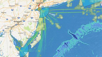
MARCO Map Viewer and Mid-Atlantic Ocean Data Portal
The Mid-Atlantic Ocean Data Portal is an online toolkit and resource center that consolidates available data and enables state, federal, and local users and the general public to visualize and analyze ocean resources and human use information such as f …
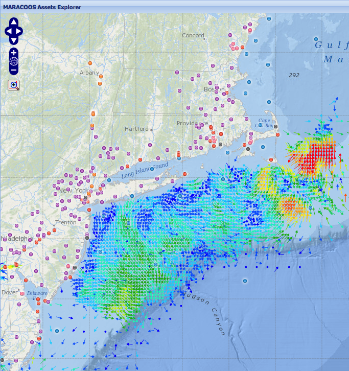
MARACOOS Assets Explorer
This site is designed to present near real-time observational assets and model forecasts that contribute to ocean monitoring in the MARACOOS domain. Numerous geographical representations of datasets are available including: ocean buoys, meteorological …
Delaware Environmental Observing System GeoBrowser
The Delaware Environmental Observing System (DEOS) GeoBrowser provides access to DEOS data through a geographic framework. In the GeoBrowser, you can select stations from across the state to see current conditions and access daily and monthly summaries …