Search Results
Keyword(s): Vulnerability
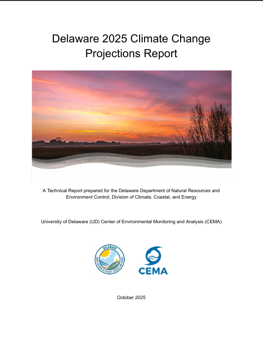
Delaware 2025 Climate Change Projections Report
In October 2025, the University of Delaware Center for Environmental Monitoring and Analysis (CEMA) published the Delaware 2025 Climate Change Projections Report. This report presents a comprehensive assessment of sea level rise, temperature, and preci …
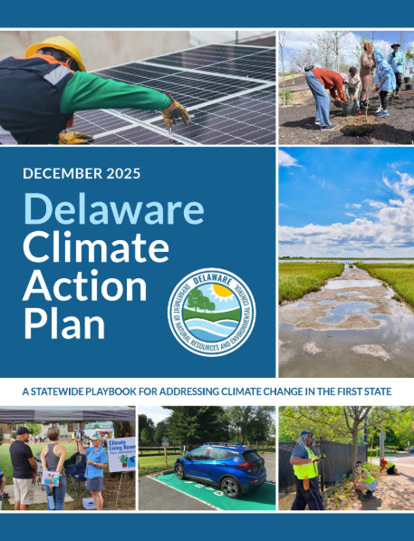
2025 Delaware Climate Action Plan
In January 2026, the Delaware Department of Natural Resources and Environmental Control published its updated Climate Action Plan for the next five years. The 2025 Climate Action Plan is a practical playbook to reduce greenhouse gas emissions, protect …
Delaware Resilient and Sustainable Communities League Coffee Hours
Join the Delaware Resilient and Sustainable Communities League (RASCL) for an informal and interactive discussion with RASCL members. Find the latest Coffee Hours scheduled here: https://www.derascl.org/events RASCL representatives are on hand to disc …
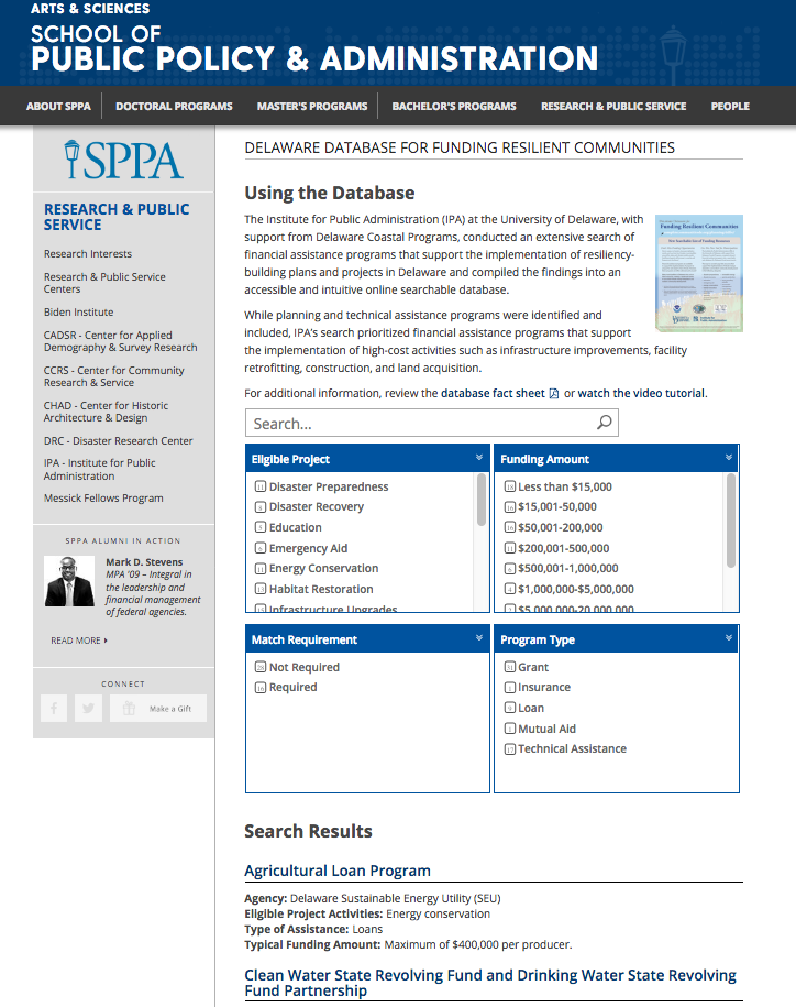
Delaware Database for Funding Resilient Communities
An online searchable database that provides information regarding financial assistance programs that support the implementation of resiliency-building plans and projects in Delaware.
NSF PREEVENTS
Prediction of and Resilience against Extreme Events (PREEVENTS) seeks projects that will (1) enhance understanding of the fundamental processes underlying natural hazards and extreme events on various spatial and temporal scales, as well as the variabi …
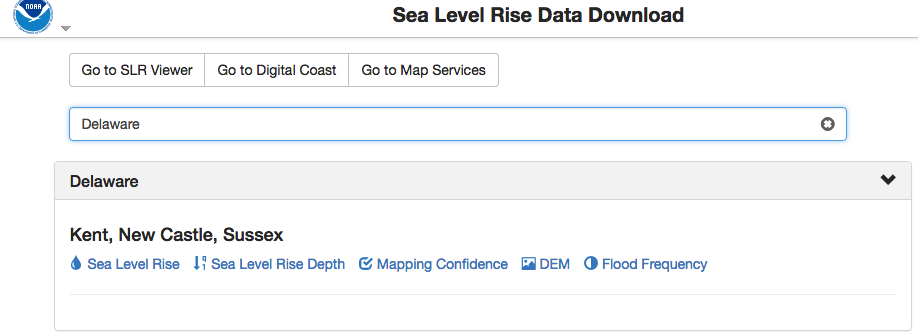
NOAA Sea Level Rise Data Download
Depository of data used in NOAA’s Sea Level Rise Data Viewer. Sea level rise, sea level rise depth, mapping confidence, flood frequency and a digital elevation model (DEM) is available to download by state.
Naturally Resilient Communities Strategies
A guide of nature-based solutions and related case studies of successful projects to help communities learn more and identify solutions that might work best for them. Explore over 50 nature-based solutions and case studies that can help your community …
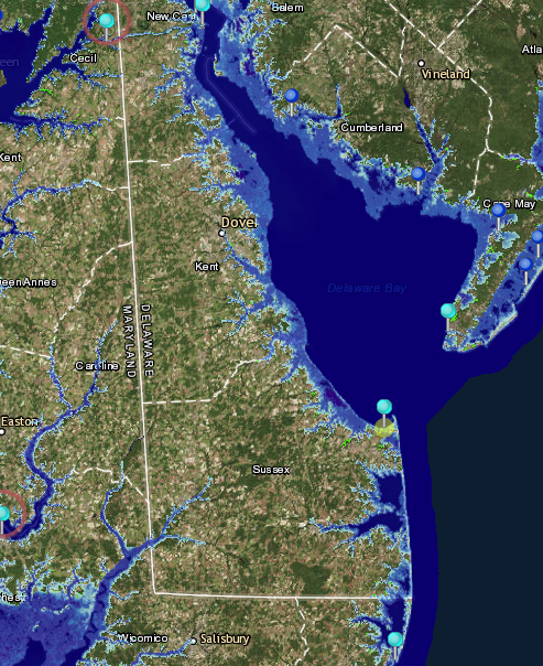
NOAA Tides and Currents Innundation Dashboard
View real-time and historical water level and inundation information in an interactive web mapping application. Tide stations are available for three regions—New York City and Long Island Sound, Lower Chesapeake Bay, and coastal North Carolina—with add …
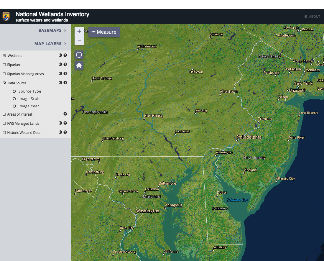
National Wetlands Inventory Wetlands Mapper
The Wetlands mapper is designed to deliver easy-to-use, map like views of America’s Wetland resources. It integrates digital map data along with other resource information to produce current information on the status, extent, characteristics and functi …
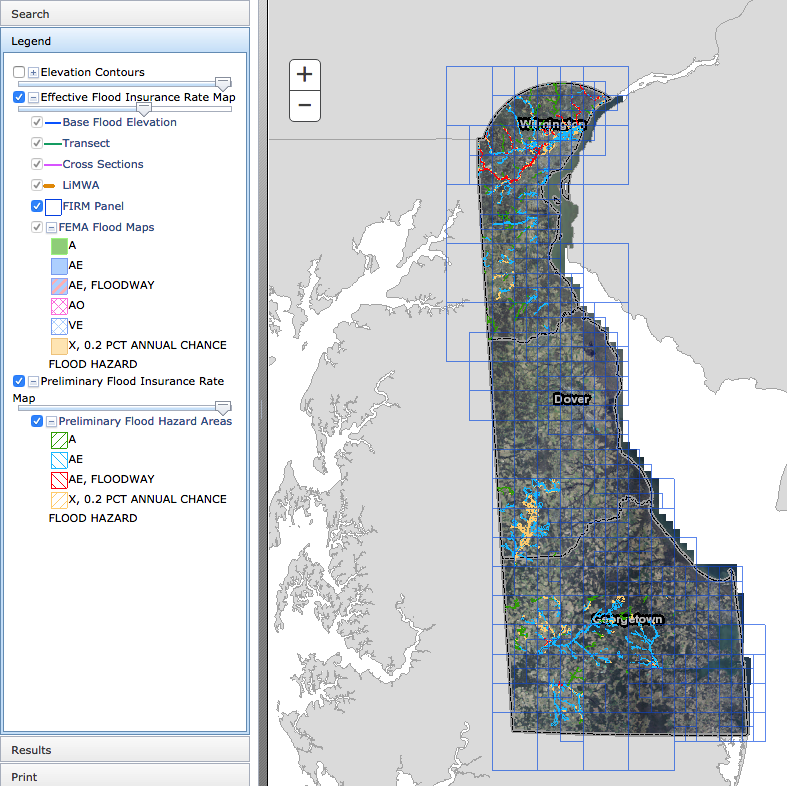
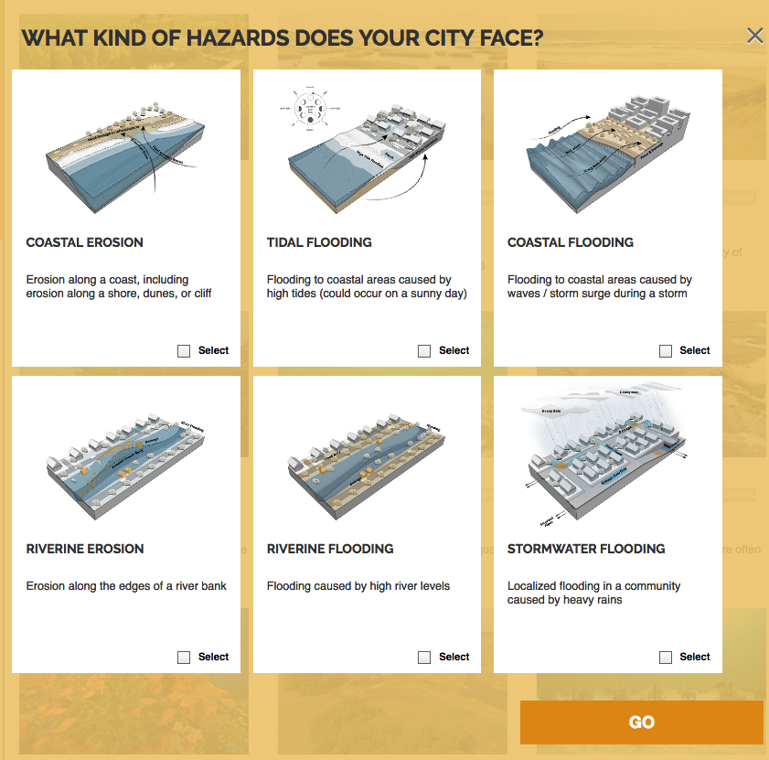
Delaware Flood Planning Tool
The DNREC Flood Tool is an interactive web map application. This tool is designed to aid you in researching your flood risk in the state of Delaware. It is designed to provide floodplain managers, insurance agents, developers, real estate agents, engin …