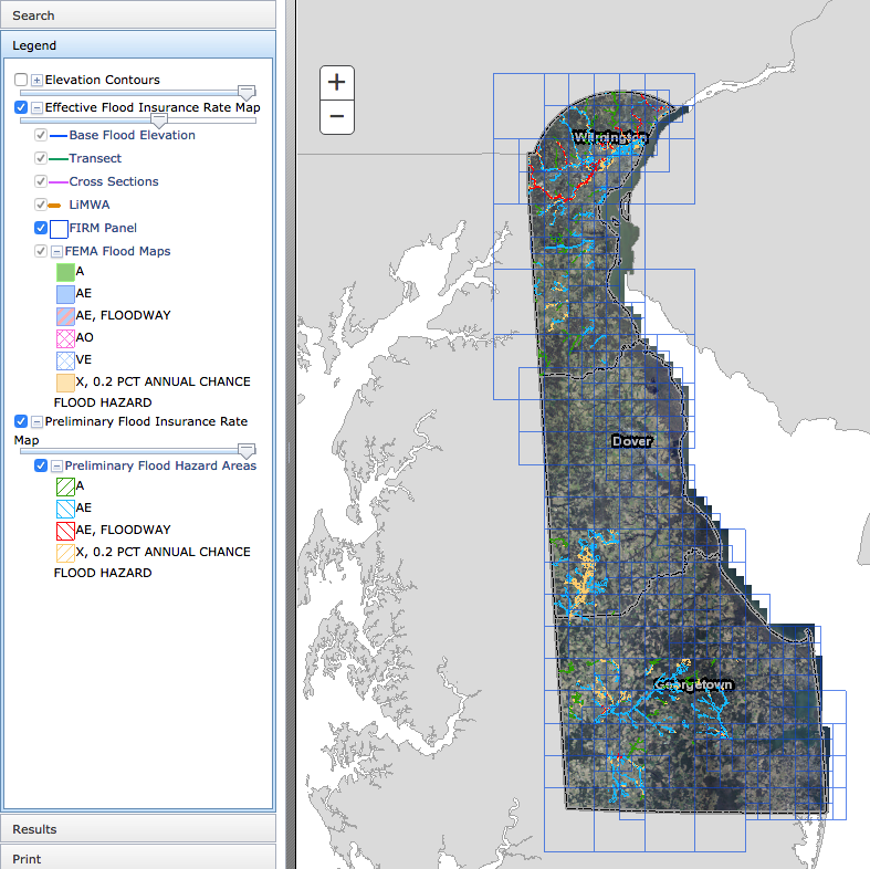
Tools & Applications > Delaware Flood Planning Tool
The DNREC Flood Tool is an interactive web map application. This tool is designed to aid you in researching your flood risk in the state of Delaware. It is designed to provide floodplain managers, insurance agents, developers, real estate agents, engineers, surveyors, local planners and citizens with an effective means by which to make informed decisions about the degree of flood risk for a specific area or property. This tool does not contain reference to Sea Level Rise data or scenario projections.
The online tool is for use in administering the National Flood Insurance Program. It does not necessarily identify all areas subject to flooding, particularly from local drainage sources of small size. To obtain more detailed information in areas where Base Flood Elevations have been determined, users are encouraged to consult the latest flood profile data contained in the official Flood Insurance Study (FIS). These studies are available online at www.msc.fema.gov.
