Search Results
Type: Tools & Applications
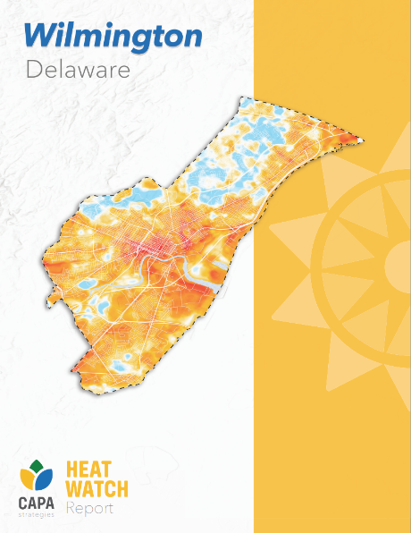
Wilmington and Surrounding Townships (WiST) Heat Mapping Study
In July 2023, the University of Delaware Climate Hub and DNREC’s Climate & Sustainability Section partnered with the National Integrated Heat Health Information System’s Urban Heat Island Mapping Campaign to collect data on urban heat in and around Wil …
OSPC Delaware Climate Change and Community Resiliency Planning Toolkit
Effective November 15, 2026, Senate Bill 237 requires municipalities in Delaware with populations greater than 2,000 to include strategies that consider community resiliency and reduce the vulnerability of property, agriculture, infrastructure, and cul …
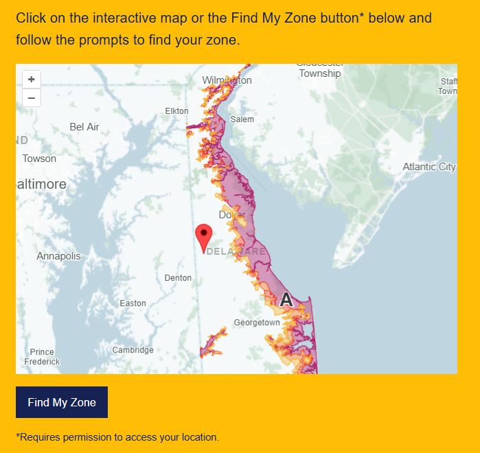
Know Your Zone
PrepareDE’s Know Your Zone tool is an evacuation planning assistance tool through which Delawareans can prepare an evacuation plan for use in the event of an emergency. Locate your evacuation zone and understand its associated risks before disaster str …

PrepareDE
PrepareDE is Delaware’s official emergency readiness initiative. It provides guidelines, downloadable resources, and contacts for preparing for and responding to emergency events. Using PrepareDE, you can: Prepare an emergency evacuation plan that cons …
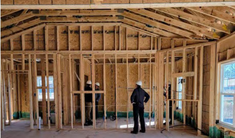
Building Energy Codes
The DNREC State Energy Office (SEO) is responsible for developing and updating building energy conservation codes to improve the comfortability, affordability, and energy efficiency of buildings throughout Delaware. The SEO is mandated to review Delawa …
Division of Water Constituent Concern Tracker
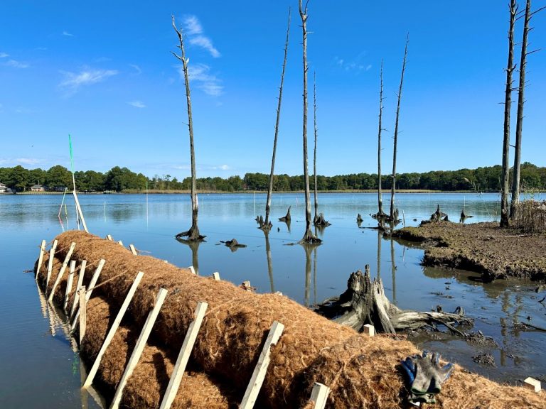
The DNREC Division of Water Constituent Concern Tracker is a system used to receive, review, and respond to questions, concerns, and reports from the public. Plausible concerns include those related to surface and groundwater water quality, stormwater, …

Delaware’s Tree for Every Delawarean Initiative (TEDI)
Delaware’s Tree for Every Delawarean Initiative (TEDI) is an effort forged by DNREC’s Division of Climate Coastal and Energy to plant at least one tree for as many people who live in Delaware. TEDI is part of the State’s comprehensive playbook to respo …
Delaware Wildlife Action Plan Habitat Explorer
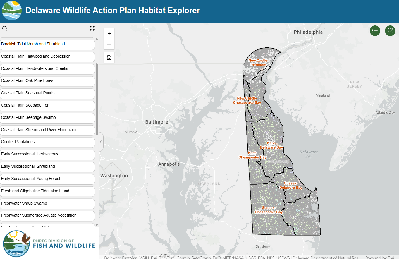
DNREC’s Division of Fish and Wildlife developed the Wildlife Action Plan Habitat Explorer as a mapping tool to inform the Wildlife Action Plan. The Habitat Explorer provides nearly 40 GIS layers from which to learn about the Wildlife Action Plan’s appr …
Delaware Greenhouse Gas Inventory
In December 2025, the DNREC Division of Air Quality published Delaware’s Greenhouse Gas Inventory for 2022. The Division of Air Quality prepares the inventory to characterize Delaware’s historical and projected GHG emissions, and thereby inform the pol …

Watershed Resources Registry- Delaware
The Watershed Resources Registry is an interactive online mapping tool that prioritizes areas for preservation and restoration of wetlands, riparian zones, terrestrial areas, and storm water management control across an entire state. The tool is helpfu …