Data, Projects & Reports, Tools & Applications > Wilmington and Surrounding Townships (WiST) Heat Mapping Study
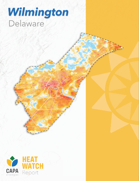
In July 2023, the University of Delaware Climate Hub and DNREC’s Climate & Sustainability Section partnered with the National Integrated Heat Health Information System’s Urban Heat Island Mapping Campaign to collect data on urban heat in and around Wilmington. This mapping campaign was the first Delaware-specific study of its kind, exploring not only the location of the hottest urban neighborhoods, but also the degree of difference experienced by residents.
Community volunteers from across Wilmington signed up to collect data using mobile car-mounted temperature sensors, driving three routes at morning, afternoon, and evening. This allowed the study to capture a direct comparison between different neighborhoods in the same weather conditions, but also to create a profile of how the city heats up over the course of a day: where it gets hot earliest, and where heat lingers in the evening.
Click here to access the summary report, or click here to explore the data layers in ArcGIS.
Resource Contact(s)
DNREC Division of Climate, Coastal & Energy Contact Information
Email: DEClimatePlan@delaware.gov